All scenariosScenario 1 · The Rockies Line

Austin to Seattle, park to park

Palo Duro Canyon, Golden Gate Canyon, Rocky Mountain, Grand Teton, and Yellowstone all sit within a few miles of this line. Glacier is a marked branch off it. Built for a 2027 Lucid Gravity GT and a dog who’s happiest off leash in the gaps between parks.

2,399 mi
Direct route
41 hr
Wheel time
7
National & state parks
6
States crossed
10
Days at these settings

Trip settings

everything below reacts to these
2027 Lucid Gravity GT (Grand Touring)
Usable battery 112 kWhEPA range 450 miCurb weight 6,173 lbLoaded 6,793 lbDC fast charge 10–80% in ≈20 minPort NACS
Where these specs come from

Lucid’s published Gravity numbers, carried forward as a 2027 planning estimate. Confirm your build’s EPA rating and wheel size before you set a charging plan; larger wheels trade range for grip.

Load on board defaults to 370 lb of adults, a 50 lb dog and 200 lb of camping gear and luggage. Weight moves only the climbing maths. Every extra pound costs energy to lift over a pass, and gives some of it back on the descent.

Include the Glacier NP branch
Missoula → Logan Pass → rejoin near Spokane
Sat, Jun 19 → Mon, Jun 28, 2027 · 10 days on the road. Trail Ridge Road open.
2,399 mi
Flat-road miles
2,481 mi
Altitude-effective miles
+82 mi
Net climbing tax
450 mi
Range at this load & speed
338 mi
Usable above reserve
5
Charging stops
10
Total trip days

250 mi between stops uses 74% of the 338 mi you can use above a 25% reserve. Longest Supercharger gap on the route is 249.2 mi, Rawlins, WY to Jackson, WY, which fits with 88 mi to spare. Drawn at 249 Wh/mi.

How the numbers are computed

How range is computed: consumption comes from the road-load equation, F = Crr·m·g + ½·ρ·Cd·A·v². Rolling resistance rises with the load you carry; drag rises with the square of your speed. The model is calibrated against Lucid's 450-mile EPA figure. That is treated as what the default 620 lb load draws at 65 mph, or 249 Wh/mi, and everything scales from there. It assumes a 0.008 rolling coefficient, Lucid's published 0.24 drag coefficient, and an estimated 2.7 m² frontal area. Move the load or speed slider and the range, the Wh/mi, and every leg's climb cost all follow. The reserve slider sets the charge you refuse to go below. Usable range is what is left above it, and the planned charging interval is capped there no matter where the miles slider sits. Supercharger positions come from the supercharge.info database, filtered to sites within 12 miles of this route. The gap warning measures the real distance between consecutive sites.
How the climb tax is computed: lifting the loaded car costs energy = mass × g × Δheight, divided by drivetrain efficiency. That energy is then converted into miles at whatever the car is drawing per mile right now, so the tax in miles falls as the cost per mile rises. Climbing legs apply an 88% drivetrain efficiency (extra draw); descending legs apply a 65% regen-recovery rate (partial refund) — batteries never return 100% of what gravity gave them. At current settings that works out to about 12.5 mi spent per 1,000 ft climbed and 7.2 mi recovered per 1,000 ft descended.

How the dates are computed: the schedule walks the route leg by leg. A driving day caps at 7.5 hours behind the wheel, and each park or camp stop holds you for the number of nights set above. Leg times scale with the speed setting from a 65 mph baseline, so park and mountain roads stay proportionally slower than the interstate stretches. Set either date and the other moves with it. Weather figures are 1991–2020 monthly normals from the nearest long-record station, named on each stop.

Where the climbs cost the most range

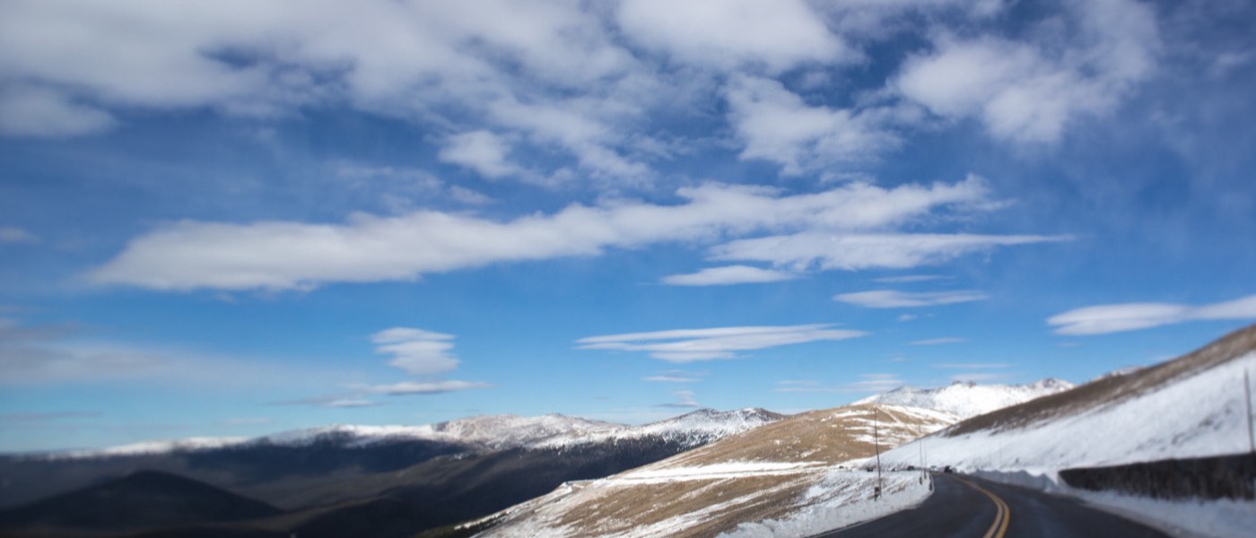
Two climbs dominate the trip. Trail Ridge Road runs from Estes Park (7,522 ft) to the Alpine Visitor Center (12,183 ft), a 4,661 ft gain in 25 miles. Logan Pass, on the branch, climbs from Missoula (3,209 ft) to 6,646 ft. Both are short enough that the range cost stays manageable. The descent that follows is the bigger planning risk. Regen won't refill what the climb spent, so leave more buffer than the raw mileage suggests on the way down.
The parks, in order

State Park → Staging city → Rocky Mountain NP → Bridger-Teton NF en route → Grand Teton NP → Yellowstone NP → City
Amarillo, TX
Gail Frederick · CC BY 2.0

Amarillo, TX

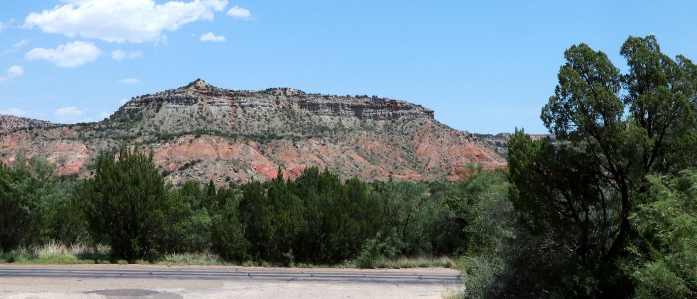
State Park
480 mi · 7 hr 15 min
489 ft → 3,676 ft +3,187 ft⛺ Palo Duro Canyon State Park — Hackberry Camp Area
Sat, Jun 1990° / 62°FJun normals, 2.9 in, showers likely · Amarillo station

Long first day across the plains. Second-largest canyon in the US.
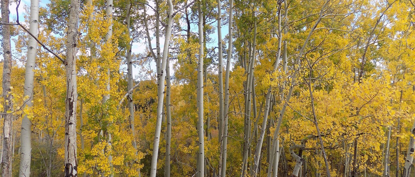
🐾 Trail-friendly — Leashed dogs welcome on every trail and every campsite.
⛰ climb tax: +41 mi of effective range
Denver, CO
Wildernest42 · CC BY-SA 4.0

Denver, CO

Staging city
440 mi · 6 hr 30 min
3,676 ft → 5,280 ft +1,604 ft⛺ Golden Gate Canyon SP (30 min west) or push into the metro
Sun, Jun 2083° / 53°FJun normals, 1.9 in, scattered showers · Denver station

Last night before the climbing starts. Charge to 100% here if driving Trail Ridge next.
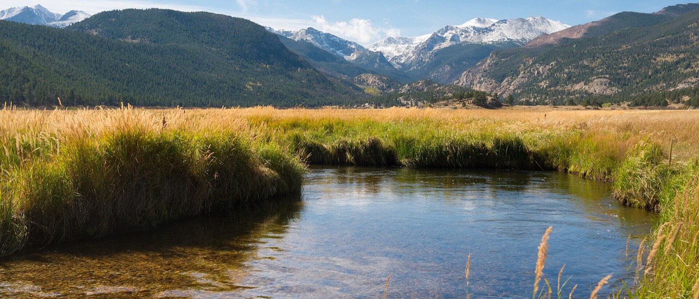
🐾 Trail-friendly — Golden Gate Canyon SP allows leashed dogs on all its trails.
⛰ climb tax: +21 mi of effective range
Estes Park, CO
Frank Schulenburg · CC BY-SA 4.0

Estes Park, CO

Gateway town
65 mi · 1 hr 30 min
5,280 ft → 7,522 ft +2,242 ft
Mon, Jun 2174° / 43°FJun normals, 1.4 in, scattered showers · Estes Park station

RMNP gateway. This is where the timed-entry permit and NPS pet rules begin.
🐾 Trail-friendly — Downtown and the surrounding forest are dog-friendly. The restrictions start at the entrance station.
⛰ climb tax: +29 mi of effective range
Trail Ridge Road summit
Anne Dirkse · CC BY-SA 4.0

Trail Ridge Road summit

Rocky Mountain NP
25 mi · 1 hr
7,522 ft → 12,183 ft +4,661 ft⛺ Timber Creek CG (west side, after the descent)
Mon, Jun 2158° / 26°FJun normals, 1.4 in, scattered showers · Estes Park station, adjusted 16° colder for the 4,661 ft it sits above that stationnights at or below freezing

Highest continuous paved road in the US. Open roughly Memorial Day–mid October only.
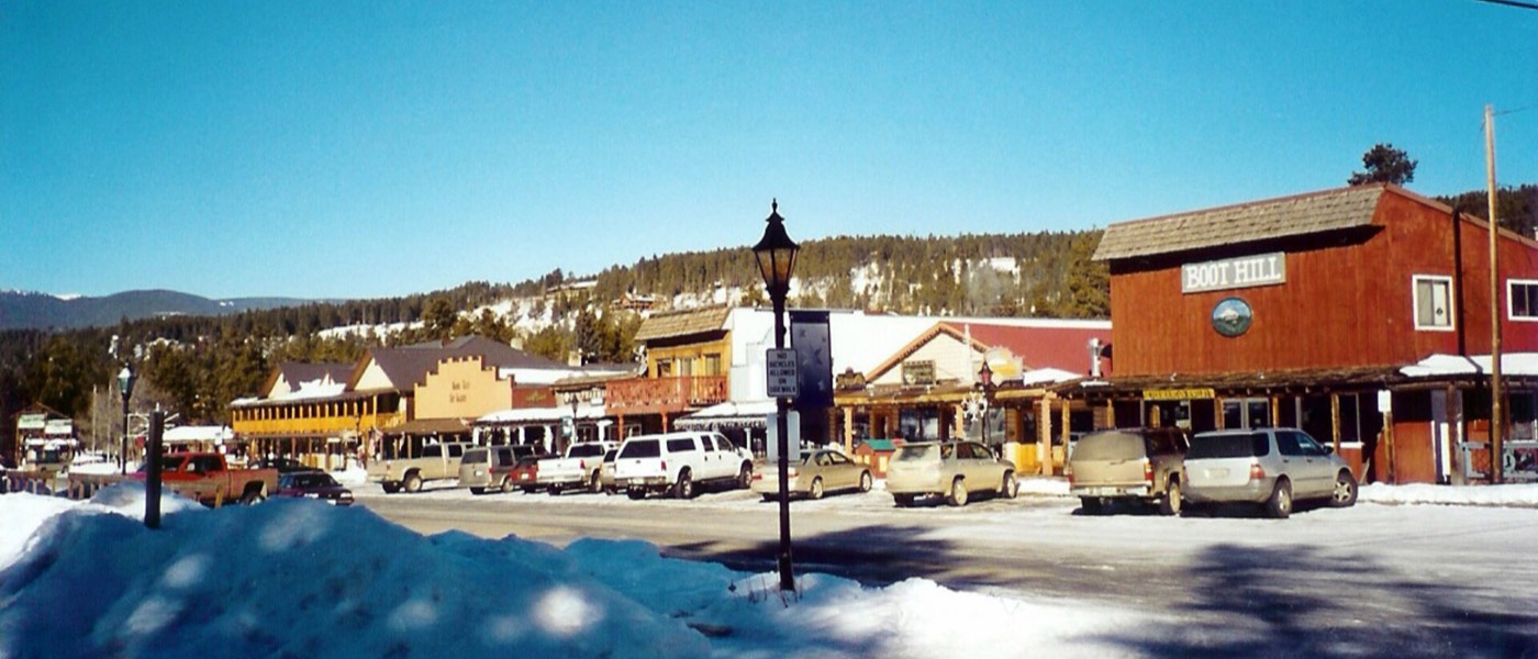
🐾 Restricted — RMNP bans dogs on every trail and boardwalk, even leashed. Pets stay in the car, the campground, or within 100 ft of the road.
⛰ climb tax: +60 mi of effective range
Grand Lake, CO
Unknown · Public domain

Grand Lake, CO

RMNP west exit
23 mi · 1 hr
12,183 ft → 8,369 ft -3,814 ft⛺ Timber Creek CG
Mon, Jun 2171° / 34°FJun normals, 1.4 in, scattered showers · Grand Lake station

Steep descent. Regen returns part of what the climb spent.
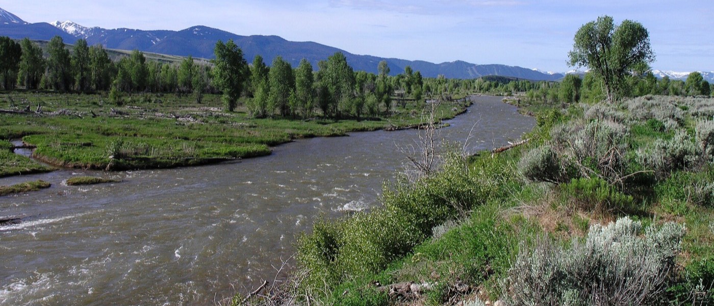
🐾 Restricted — Same RMNP rule through the west side.
↓ regen bonus: −25 mi of effective range
Jackson, WY
Daniel Mayer · CC BY-SA 3.0

Jackson, WY

Bridger-Teton NF en route
440 mi · 7 hr 45 min
8,369 ft → 6,237 ft -2,132 ft⛺ Gros Ventre CG or Bridger-Teton NF dispersed sites
Wed, Jun 2370° / 38°FJun normals, 1.6 in, scattered showers · Jackson station

The long haul of the trip, via Walden, Rawlins, Lander, and Dubois. Split into two driving days if the pace feels long.
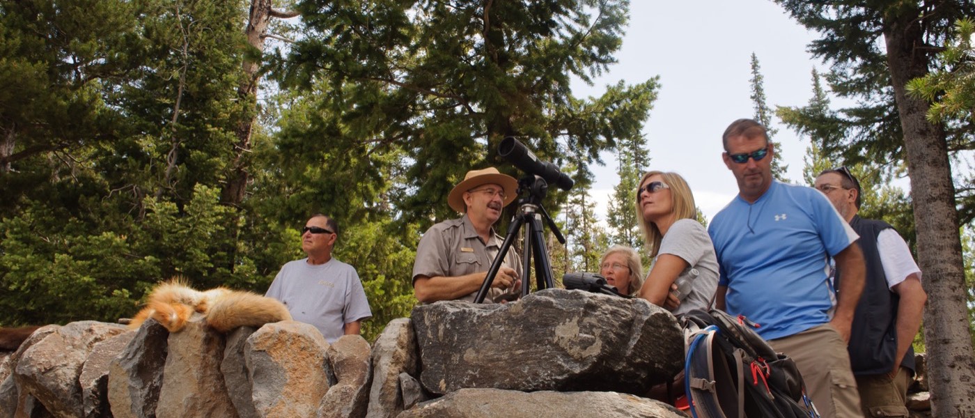
🐾 Trail-friendly — Bridger-Teton NF dispersed sites and trails allow leashed dogs, the longest stretch on the route where dogs can be on trails.
↓ regen bonus: −14 mi of effective range
Grand Teton NP (Jenny Lake)
InSapphoWeTrust from Los Angeles, California, USA · CC BY-SA 2.0

Grand Teton NP (Jenny Lake)

Grand Teton NP
20 mi · 30 min
6,237 ft → 6,783 ft +546 ft⛺ Jenny Lake CG or Colter Bay CG
Thu, Jun 2470° / 38°FJun normals, 1.6 in, scattered showers · Jackson station

Book Recreation.gov exactly 6 months ahead; this campground sells out same-day.
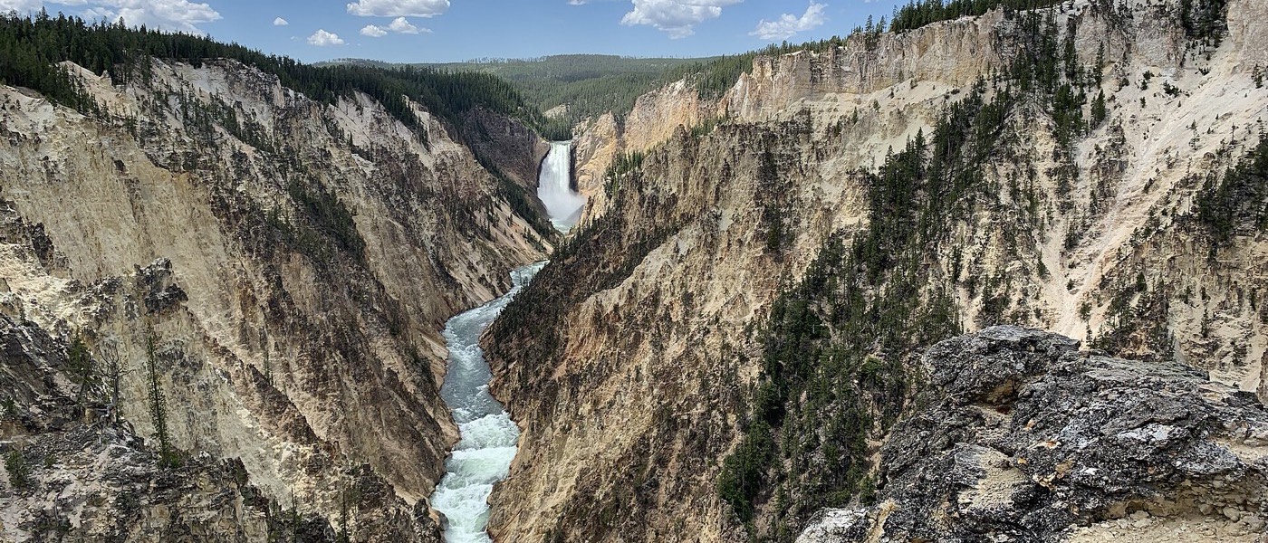
🐾 Restricted — Pets allowed on paved pathways, roads, and in campgrounds and parking lots. Backcountry trails are off limits.
⛰ climb tax: +7 mi of effective range
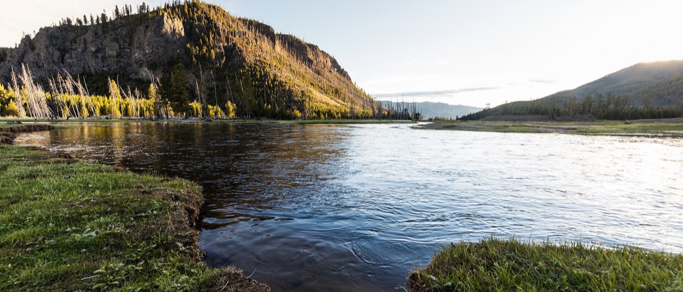
Yellowstone — Old Faithful to Canyon
Erik Whalen · CC BY-SA 4.0

Yellowstone — Old Faithful to Canyon

Yellowstone NP
96 mi · 2 hr 30 min
6,783 ft → 7,926 ft +1,143 ft⛺ Canyon Village or Madison CG
Fri, Jun 2564° / 29°FJun normals, 2.5 in, showers likely · West Yellowstone station, adjusted 4° colder for the 1,259 ft it sits above that stationnights at or below freezing

Enter at South Entrance, loop past Old Faithful and the Grand Canyon of the Yellowstone.
🐾 Restricted — Pets must stay within 100 ft of roads, parking areas, and campgrounds. No trails or boardwalks, no exceptions.
⛰ climb tax: +15 mi of effective range
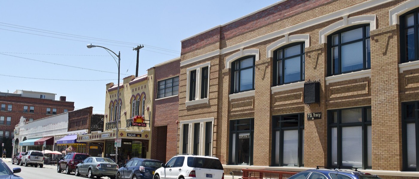
West Yellowstone, MT
Yellowstone National Park · Public domain

West Yellowstone, MT

Gateway town
40 mi · 1 hr
7,926 ft → 6,667 ft -1,259 ft
Sat, Jun 2668° / 34°FJun normals, 2.5 in, showers likely · West Yellowstone station

Resupply and charge before the Montana stretch.
🐾 Trail-friendly — Town and nearby Gallatin NF trails are leash-friendly.
↓ regen bonus: −8 mi of effective range
Bozeman, MT
Tim Evanson · CC BY-SA 2.0

Bozeman, MT

City
90 mi · 1 hr 45 min
6,667 ft → 4,820 ft -1,847 ft
Sat, Jun 2672° / 46°FJun normals, 3.3 in, wet month · Bozeman station

Last resupply stop before the Missoula fork.
🐾 Trail-friendly — Several off-leash city parks if the dog needs to run.
↓ regen bonus: −12 mi of effective range
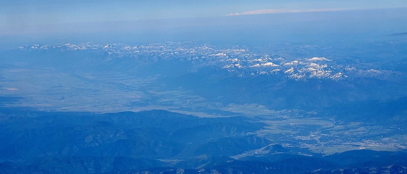
Missoula, MT
Jstuby · CC0

Missoula, MT

Decision point
200 mi · 3 hr
4,820 ft → 3,209 ft -1,611 ft
Sat, Jun 2673° / 46°FJun normals, 2.1 in, showers likely · Missoula station

Glacier or straight to Seattle. Toggle the switch at the top to see how the numbers change.
🐾 Trail-friendly — City is dog-friendly.
↓ regen bonus: −11 mi of effective range
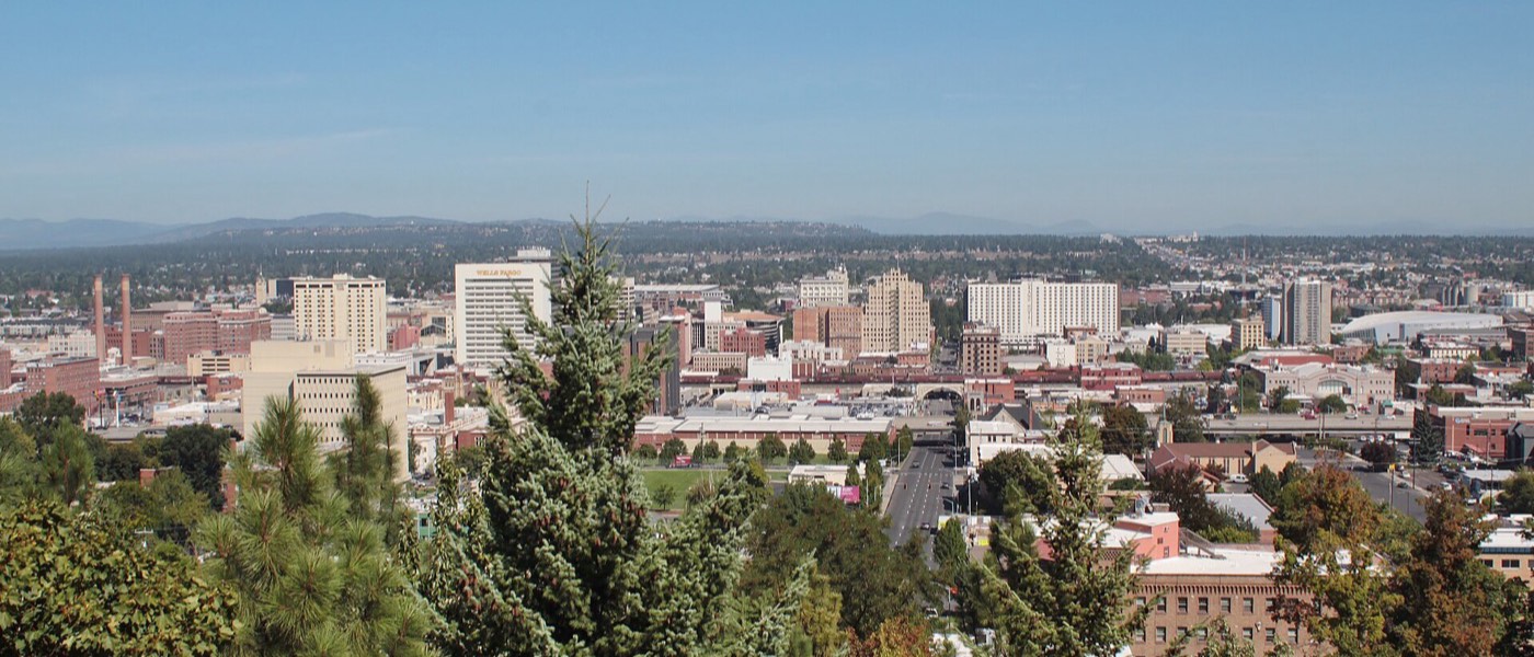
Spokane, WA
SounderBruce · CC BY-SA 4.0

Spokane, WA

City
200 mi · 3 hr
3,209 ft → 1,843 ft -1,366 ft⛺ Farragut SP (Idaho, optional overnight)
Sun, Jun 2774° / 51°FJun normals, 1.2 in, scattered showers · Spokane station

Direct I-90 stretch if skipping Glacier.
🐾 Trail-friendly — Farragut SP allows leashed dogs on all its trails.
↓ regen bonus: −9 mi of effective range
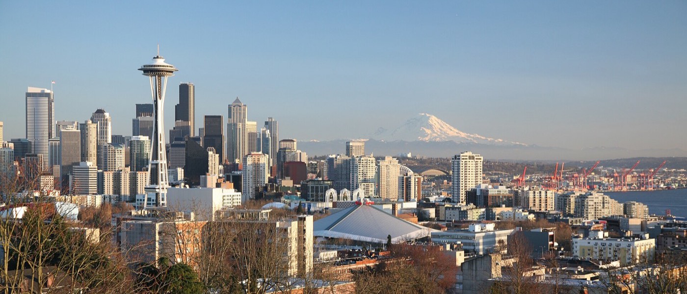
Seattle, WA
Daniel Schwen · CC BY-SA 4.0

Seattle, WA

Arrival
280 mi · 4 hr 15 min
1,843 ft → 175 ft -1,668 ft
Mon, Jun 2871° / 53°FJun normals, 1.4 in, scattered showers · Seattle station

Last leg: 1,668 ft of net descent.

🐾 Trail-friendly — Trip complete.
↓ regen bonus: −11 mi of effective range

Seasonal road windows

plowing progress sets both opening dates
Trail Ridge Rd
12,183 ft summit
Going-to-the-Sun Rd
Glacier NP, if taken
JanFebMarAprMayJunJulAugSepOctNovDec
National park vs. national forest: where dogs can walk

Every full national park on this route bans dogs from trails and boardwalks: Rocky Mountain, Grand Teton, Yellowstone, and Glacier. Leashed pets are allowed only in campgrounds, parking areas, and within about 100 ft of roads. The national forest and state park stretches are the opposite. At Palo Duro Canyon, Golden Gate Canyon, and Bridger-Teton, leashed dogs are welcome on nearly every trail. Plan trail hikes for the gaps between parks, and treat the parks themselves as scenic-drive and campground days for the dog.

No single pass covers the whole route

The America the Beautiful annual pass costs $80. It covers entrance at all four national parks on this line, plus standard day-use fees on federal land like the Bridger-Teton stretch. It does not cover state parks. Texas, Colorado, and Idaho each run their own gate, and their annual passes would total $230 to pass through once each.

Buy the federal pass, pay the three state parks at the gate. Rocky Mountain, Grand Teton, and Yellowstone alone come to $105 at the gate. The pass pays for itself at the third park, and this route has at least three.

Reservations you need on top of a pass

Rocky Mountain runs a timed-entry system from late May to mid-October. It applies 9am to 2pm for most of the park, and 5am to 6pm on the Bear Lake Road corridor. A reservation costs a $2 Recreation.gov processing fee and does not replace the entrance fee. Entering outside those hours needs no reservation.

Glacier required a vehicle reservation for Going-to-the-Sun Road in past summers. The park says none is required anywhere in 2026. Check again before a 2027 trip; this has changed year to year.

Passes and fees

one federal pass, three state gates
StopGate fee, out-of-state vehicleAmerica the BeautifulDetails
Palo Duro Canyon SP, TX$8 per adult per day / 12 and under freeNot coveredTexas parks pass, $70 ↗
Golden Gate Canyon SP, CO$15–17 per vehicle per dayNot coveredColorado passes, $80/yr ↗
Rocky Mountain NP$35 per vehicle, 7 days / $70 park annualCoveredPark fees ↗
Bridger-Teton NFNo entrance feeDay-use coveredForest info ↗
Grand Teton NP$35 per vehicle, 7 days / $70 park annualCoveredPark fees ↗
Yellowstone NP$35 per vehicle, 7 days / $70 park annualCoveredPark fees ↗
Glacier NP <span style="color:var(--alpine)">(branch)</span>$35 per vehicle, 7 days / $25 Nov 1–Apr 30CoveredPark fees ↗
Farragut SP, ID$7 per vehicle per day / $80 annualNot coveredPark info ↗

Book-ahead checklist

the parts that sell out first
Campsites
  • Jenny Lake & Colter Bay (Teton) and Canyon/Grant Village (Yellowstone) release on Recreation.gov 6 months out to the day. Set an alarm.
  • Timber Creek (RMNP west side) is first-come outside peak booking windows; Moraine Park books out fast in July.
  • Apgar & Fish Creek (Glacier) also run a 6-month Recreation.gov window in summer.
Permits &amp; passes
  • America the Beautiful, $80, covers all four national parks and pays for itself at the third one. See Passes and fees above.
  • RMNP timed-entry permits run late May to mid-October and cost a $2 processing fee on top of entry.
  • Glacier needed no vehicle reservation in 2026, after several summers of requiring one. Re-check before you book.
Charging
  • NACS-native Gravity reaches Tesla Superchargers along I-40, I-25, and I-90 without an adapter.
  • Coverage thins between Jackson and Yellowstone and again around Glacier. Top up to 100% before both stretches, not the usual 80%.
  • Cold mountain nights (Trail Ridge, Logan Pass, Yellowstone shoulder season) cut range further than this calculator's climb math alone. Precondition the battery before departing camp.
For the dog
  • Carry proof of rabies vaccination. Yellowstone and Glacier rangers check leash and pet-in-vehicle rules.
  • Never leave a dog in the car at altitude trailheads, even briefly. Thin air and sun make cars overheat faster than expected.
  • Bridger-Teton NF (between Rawlins and Jackson) is the longest mid-trip stretch where dogs are allowed on trails.